Piri Reis Map - The Mystery of Antarctica Without Ice
A 1513 map accurately depicts Antarctica's coastline before it was covered by ice
What secrets does a 500-year-old map reveal about Antarctica's ice-free past?
The Piri Reis Map: A 500-Year-Old Cartographic Enigma
The Admiral's Impossible Knowledge
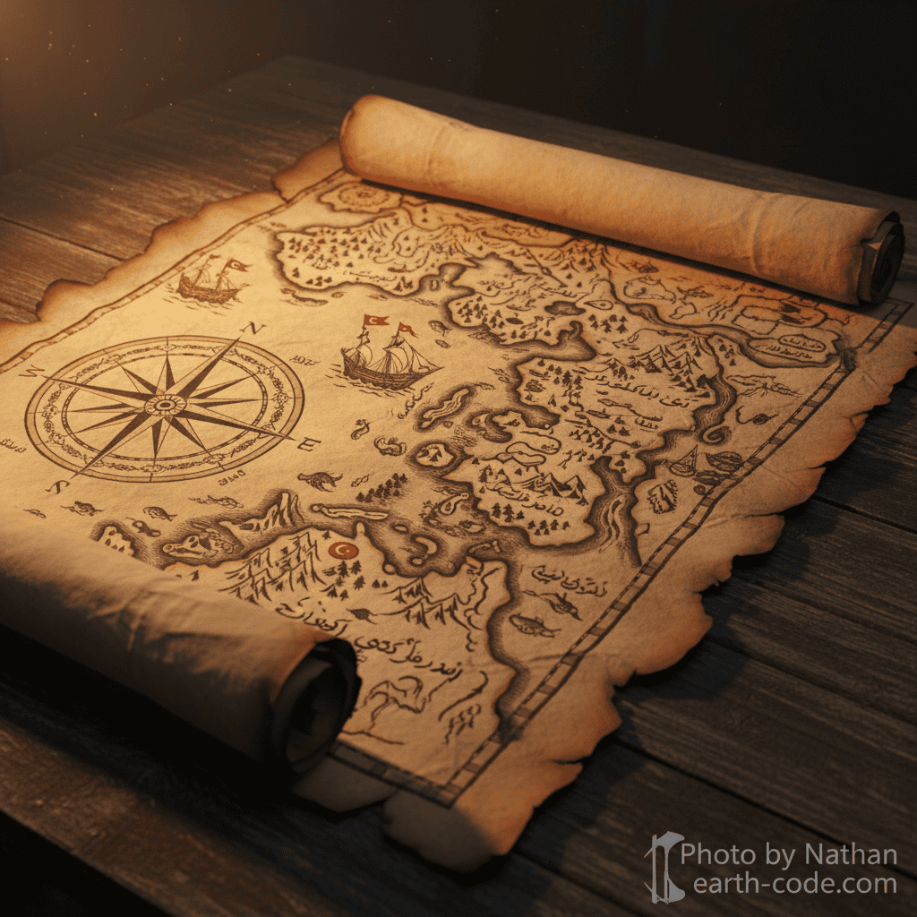
In 1513, Ottoman admiral Piri Reis created a world map that would puzzle historians and geographers for centuries. This remarkable document, drawn on gazelle skin, depicts the coastlines of Europe, Africa, and the Americas with stunning accuracy. But it's what lies at the bottom of the map that has sparked the most intense debate: a detailed representation of Antarctica's coastline as it would appear without ice.
The mystery deepens when we consider that Antarctica wasn't officially discovered until 1820 by Russian explorers Fabian von Bellingshausen and Mikhail Lazarev. How could a 16th-century Ottoman cartographer possess such precise knowledge of a continent that wouldn't be seen by European eyes for another 307 years?
Decoding the Evidence
The Piri Reis map, discovered in 1929 at the Topkapi Palace in Istanbul, represents only the western portion of what was originally a complete world map. Piri Reis himself noted in the map's margins that he compiled it from 20 older source maps, some dating back to the time of Alexander the Great, and others captured from Spanish explorers.
What makes this artifact truly extraordinary is the accuracy of its Antarctic depiction. When compared to modern seismic surveys conducted in 1949 and subsequent decades, the ice-free coastline shown on the map corresponds remarkably well with the actual continental shelf beneath Antarctica's 2-mile-thick ice sheet. The Byrd Antarctic Expedition's seismic measurements revealed mountain ranges and coastal features that align closely with Piri Reis's 500-year-old drawings.
The map also accurately shows the Andes Mountains along South America's western coast and depicts the Amazon River with precise detail. Rivers and islands that weren't officially mapped until the 18th century appear with surprising accuracy, suggesting access to extraordinarily sophisticated source materials.
Theories and Controversies
Several theories attempt to explain this cartographic anomaly. Mainstream historians argue that the Antarctic portion represents a misinterpretation or artistic extension of South America's coastline, possibly combined with earlier explorers' incomplete sketches of southern lands.
However, alternative researchers propose more provocative explanations. Some suggest the map preserves knowledge from an advanced prehistoric civilization that existed when Antarctica was ice-free—potentially 15,000-20,000 years ago during the last ice age's end. Others theorize that ancient mariners possessed far more sophisticated navigational knowledge and global reach than conventional history acknowledges.
Cartographic experts note that the map uses a projection technique that accurately represents spherical coordinates on a flat surface—a mathematical achievement not officially developed until centuries later. This sophisticated understanding of geography and geometry adds another layer to the mystery.
The Enduring Puzzle
The Piri Reis map continues to challenge our understanding of historical knowledge and ancient capabilities. Whether it represents an extraordinary compilation of lost geographical data, evidence of prehistoric advanced civilizations, or simply remarkable intuition and artistic interpretation, it remains one of history's most compelling cartographic mysteries.
This 16th-century artifact forces us to reconsider what our ancestors knew about the world and how they knew it, keeping alive questions about lost history and forgotten wisdom.
[!] Various theories exist. Information may contain errors.